 |
 |
 |
|
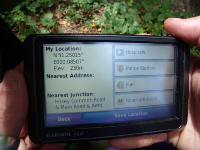
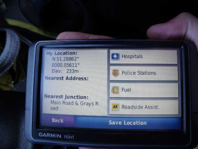
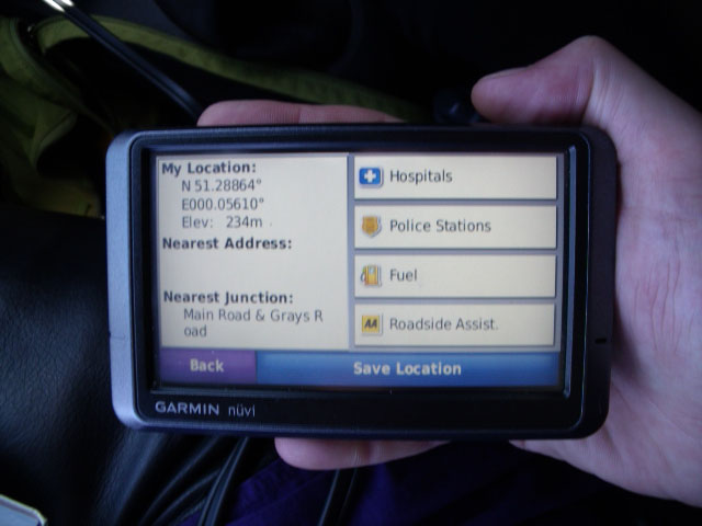
It took a while for the elevation to settle once we stopped |
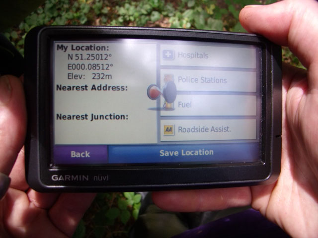
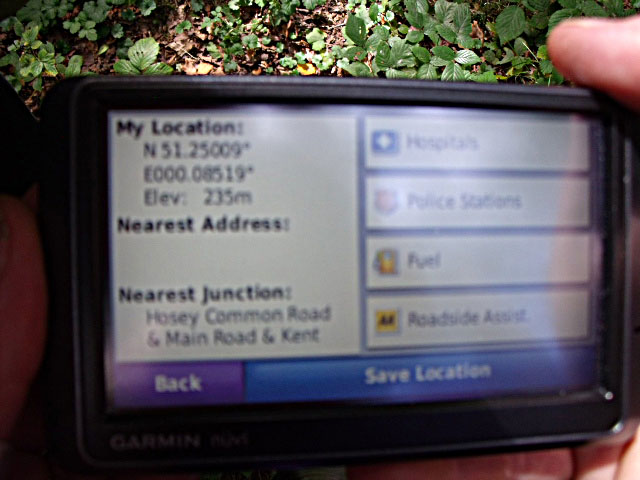
Up another 2m - just standing still! | Settles finally at 235m above mean sea level. |
 |
 |
|
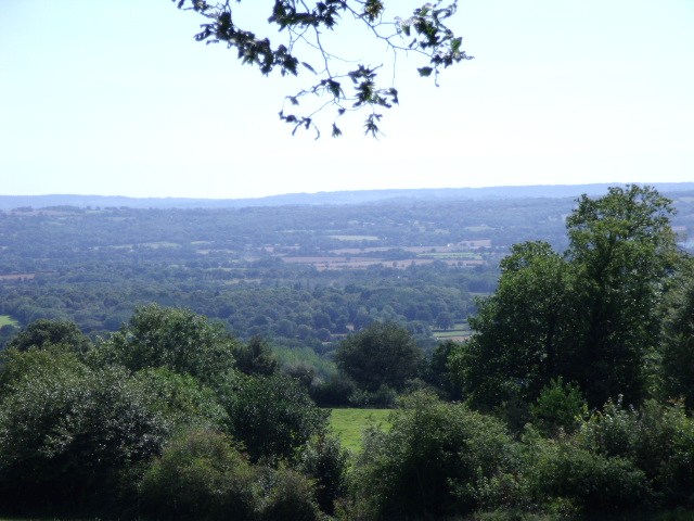
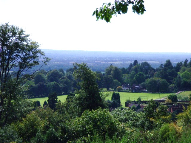
| A view from just down the road | We're looking south-west here, towards Edenbridge. |
On 31st August, 2009, my partner and I decided to do a little exploring, to see if we could establish the highest point in Kent.
I started off by picking the brains of lovely contributors to the KentFreecycleCafé Yahoogroup, who gave three suggestions:
Having worked out that Ide Hill and Emmetts Garden were very close, I looked around the OS map and saw that the land climbed quite a degree to the west of Ide Hill so we set out to Ide Hill first, armed with our trusty Garmin nüvi 205T and a few map print-outs...
Ide Hill clocked in at 217m above mean sea level. We were sure we could do better.
Looking at our map, we chose to try out Hosey Common Lane, which is about 2,000 yards west of Emmetts Garden...
|
|
|
|
|
It took a while for the elevation to settle once we stopped |
Up another 2m - just standing still! | Settles finally at 235m above mean sea level. |
|
|
|
|
| A view from just down the road | We're looking south-west here, towards Edenbridge. |
Next up was the turn of Betsom Hill, which is to the north of the M25 near the Clackett Lane services. Our GPS sent us down a very odd-looking road, which led to some small workshops and business buildings.
 |
 |
| Again the GPS took a while to settle... | ...topping out at 234m. |
We discovered that you have to stand quite still for some time for the GPS to catch up with where it thinks you are. This leads to a big margin of error, as you can see from the grid references in the 'My Location' part of the screen (which could be as much to do with the planet spinning!). So - it's not an exact science, and we'll have to try again!
We also discovered - to our dismay - that the rather higher point at Botley Hill is just into Surrey. What a shame!
Do you have a contender? Contact me here :-)
Last updated: 31/08/2009
Back to the Homepage